2024
DECEMBER
December 28th – Challenger Park – Coyote Park Loop
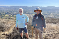
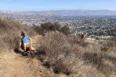
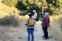
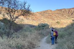
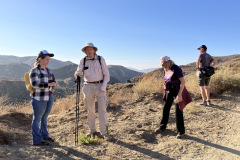
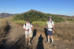
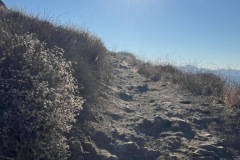
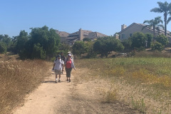
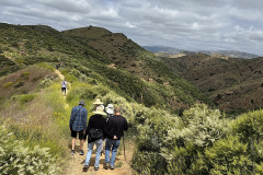
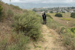
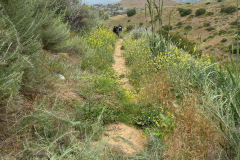
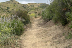
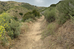
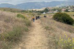
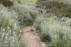
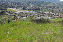
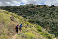
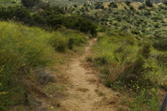
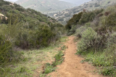
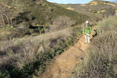
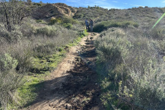
On a foggy, chilly morning, seven hikers began their hike at the end of the Challenger Park parking lot. Going west, we Crossed Long Canyon Rd. and walked along sidewalks to and through Coyote Park. At the west end of the park we headed south taking Coyote Park Trail, a trail maintained by mountain bike enthusiasts, with incredible berms and jumps. Thankfully there were no mountain bike demonstrations today. The trail led to the Canyon View Trail where we stopped at the top and took a short breather. There we viewed Simi Valley, filled in with clouds, looking like part of the ocean. We continued east on the Canyon View Trail and descended onto the bridal path that ran along Long Canyon Rd. Then we walked north until we came to a crossing signal, crossed and hiked east on a short trail back to Challenger Park. The hike was mystical and a fun 4.0 miles with 701 ft. elev. Gain/loss.
December 21st – Work Party: Mt. McCoy
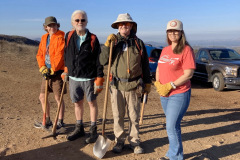
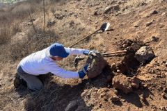
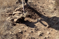
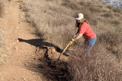
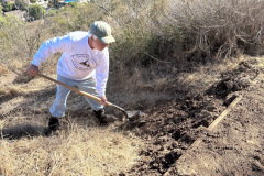
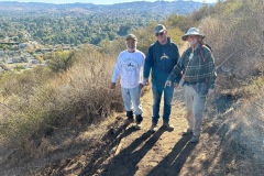
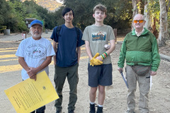
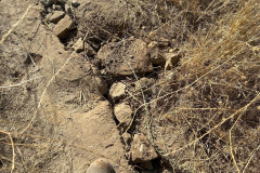
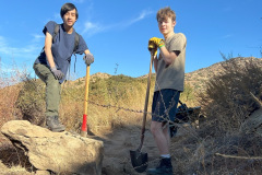
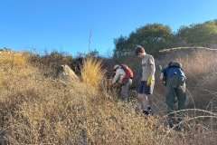
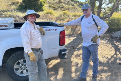
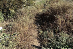
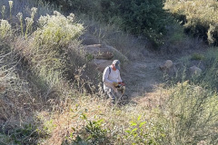
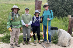
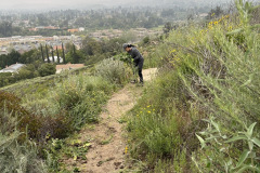
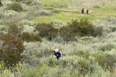
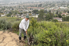
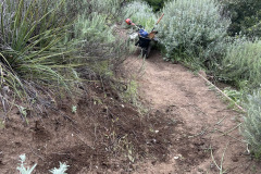
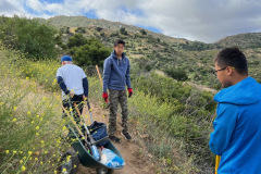
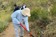
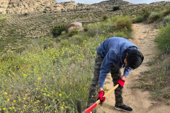
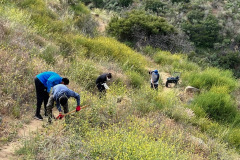
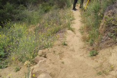
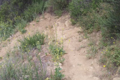
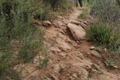
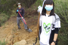
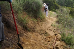
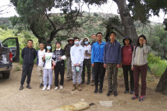
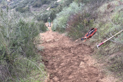
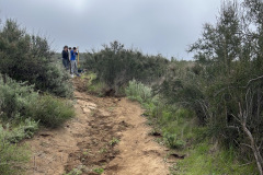
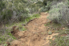
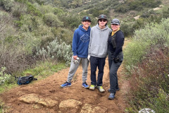
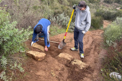
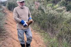
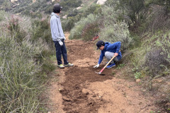
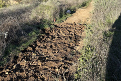
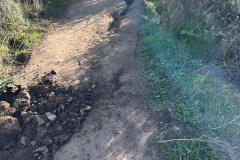
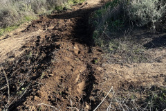
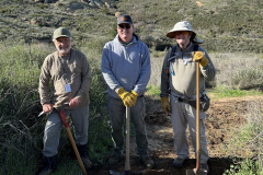
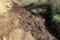
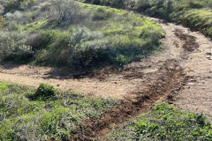
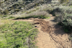
Five volunteers met at the western end of Washburn Street at the Mt. McCoy trailhead. With the courtesy of Rancho Simi Recreation and Parks District we were allowed to carpool and park at the top of the trail near the cross. Starting at the beginning of the designated trail, using Shovels and pick mattocks, we started by removing buried stones that were tripping hazards. Along with the stones we removed and other large rocks, we were able to widen the trail and shore up the edges. The volunteers did a fantastic job of defining and leveling out the trail, using stones and dirt. It was a wonderful morning, the weather was perfect and we had a great time, thanks to Arron Wieting, Bob Wieting, Stephanie Kennedy, Mike Kuhn and Martin DeGoey.
December 14th – Mammoth Highlands Loop
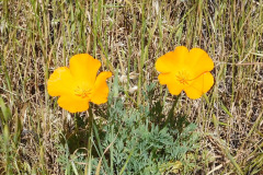
7 hikers met at 8:00 AM along College Heights Drive in Moorpark, CA not far from the 6786 residence on a chilly late autumn morning. We headed west along a well-maintained trail passing Moorpark Highlands Park. After crossing Ridgecrest Drive we began gaining elevation as we climbed up to a ridge that afforded us with expansive views of Happy Camp and northern Moorpark. The morning soon warmed to a pleasant temperature for the remainder of the hike and there was a pretty blue sky dotted with white clouds and we enjoyed nice views of the surrounding area. The trail continued along the perimeter of a gated residential area which we followed until we reached an intersection with a steep single-track trail that led up to an overlook with a covered bench. Next we followed a rapidly descending trail back to Ridgecrest Drive and then back to the original trailhead via Moorpark Highlands Park. All 7 of the hikers chose to extend the hike by following a trail that led them to an overlook of downtown Moorpark before finishing a 4.4-mile hike with 525’ of elevation gain/loss. We then retraced our steps to the trailhead as we finished another nice hike. Note: despite it being only a week or so before the start of winter, a couple dozen California poppies at the trailhead were blooming.
December 7th – Happy Camp Canyon and the Middle Range Fire Road
8 hikers met in the dirt parking lot at the east end of Broadway Road north of Moorpark on a pleasant late-autumn morning. As we started we followed a well-maintained trail beside the Rustic Canyon golf course a little over a mile to the entrance to Happy Camp Canyon, “a lush riparian oak woodland with an intermittent stream,” Although the landscape was “lush”, the “stream” was absent due to the lack of recent rain. Passing the junction with the west end of the Middle Range Fire Road, we followed an old ranch road eastward as it gradually rose 600’ in the canyon bottom between Oak Ridge and Big Mountain. At 4.8 miles we took a break in an oak grove with picnic tables and hitching rails. We then split into two groups; one group returned to the parking lot the way we had come; the other group climbed steeply for 0.5 mile up Big Mountain to the Middle Range Fire Road via an abandoned, steep, and partially eroded dirt connector road. Once we reached the ridge (and recovered from the steep climb) we took in the views to the south and west which were relatively clear for several miles, but were hazy at greater distances (for example, we could only see the outline of Santa Cruz Island, the largest of the Channel Islands). After hiking westward while enjoying the views we descended to the entrance to Happy Camp Canyon and we made our way back to the parking lot. The group that chose to hike the loop completed an 11-mile hike with 1,500′ of elevation gain/loss. The group that chose the out-and-back option completed a 9.8-mile mile hike with 985′ of elevation gain/loss. It was a very nice day for hiking.
NOVEMBER
November 30th – Santa Rosa Valley Lollipop Loop
8 hikers met in a dirt parking area on the left (east) side of Hill Canyon Road in Santa Rosa Valley Park (10241 Hill Canyon Rd, Camarillo) on a clear chilly late-autumn morning. We began our hike into the Conejo Canyons Open Space just west of Wildwood Park by crossing 25-foot-wide Arroyo Conejo Creek via a nice bridge that provided excellent views of the year-round creek which always has flowing water. We then hiked along the Hill Canyon dirt road; it followed the creek upstream to a trail intersection that we’ve named “Five Points” where we took a short nameless spur trail down to the creek where we looked at the surroundings (there were no ducks this time)…
show more
We then returned to the junction with the Western Plateau dirt road and a short distance to the north we followed the Plateau Rim Trail to an overlook above a seasonal waterfall (where there is a bench) and continued north/northwest until it rejoined the Western Plateau dirt road near the junction with the Volcanic Trail.
Then we followed the Western Plateau dirt Road back down to “Five Points” where we retraced our steps along the Hill Canyon dirt road to our starting point. We reached our vehicles having completed a pleasant 6.5-mile hike with about 775’ of elevation gain/loss. We encountered quite a few other hikers and bicyclists during a pleasant hike.
Click to see a map of Conejo Canyons Open Space.
show less
November 16th – Work Party: Mt. McCoy Trail
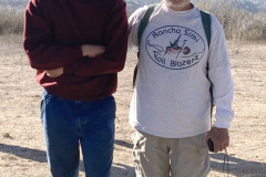
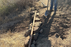
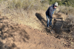
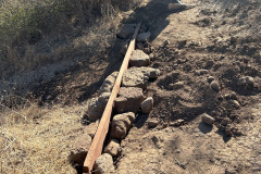
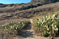
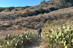
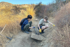
On a perfect sunny morning, three volunteers met at the western end of Washburn Street at the Mt. McCoy trailhead. The first thing we did was to widen the trail where it passed through its prickly pear cacti grove. As we made our way up the trail, using Shovels and pick mattocks, we removed buried stones that were tripping hazards. One volunteer did a little trail widening using a gas-powered hedge trimmer. Further up the trail, part of the trail needed shoring up to prevent side sloping. We trenched in a 2’x8’x10’ redwood plank and leveled the trail using stones and dirt. It was a good morning thanks to Paul Friedeborn, Mike Kuhn and Martin DeGoey.
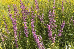
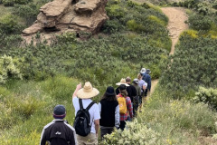
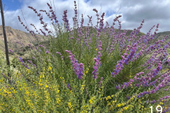
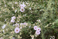
November 2nd – Las Llajas Canyon Trail
OCTOBER
October 26th – Corriganville Loop and the Stagecoach Trail
7 hikers met at 8:00 AM at historic Corriganville Park at the east end of Simi Valley on a cool pleasant autumn morning. We began our hike along the primary north-south dirt road in Corriganville. After passing Camp Rotary we started up the Loop Trail in the western section of the park by crossing the (dry) creek that flows through the park. The trail rose gradually to the west bordered with plants that had been blooming a few months earlier. Soon we reached a 3-way trail junction; we took the middle trail and followed it in a counterclockwise direction as we descended into a large open space until we reached the primary trail (dirt road) on the south side of the open space. Soon we reached the southwest part of the park where many of the mostly western movies were filmed; there are several signs showing pictures and brief descriptions of parts of this area [a couple of decades ago there were still parts of some of the movie sets but over the years mother nature has destroyed nearly everything that was left]. We finished the Loop Trail by crossing the creek a short distance past the “Robin Hood Lake” crossing and returned to Camp Rotary.
show more
NOTE: The following web link points to a very well-written description of the history of Corriganville – – –
show less
October 19th – Work Party: Lower Stagecoach Trail
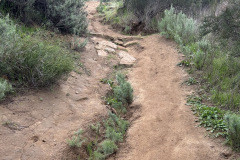
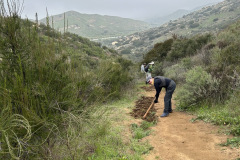
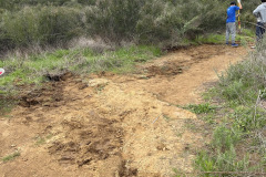
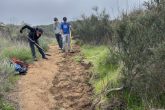
Four volunteers met in the parking lot at Corriganville Park. After reviewing the safety guidelines, we walked to the trail where we would be working, the Lower Stagecoach Trail, Corriganville Trails (rsrpd.org). We used Pick Mattocks and shovels, filling in ruts, two large ruts in particular. Ruts that require good size rocks and rubble to be used as filler. The time was well spent, with thanks and appreciation for Boy Scout Troop 605 Parler Bedford, Jake Stewart, Mike Kuhn and Martin DeGoey.
October 12 – Danielson Memorial via the Satwiwa Native American Indian Culture Center at Rancho Sierra Vista
5 hikers met on a pleasant cool early autumn morning at the Wendy Trail trailhead on Potrero Road at the south end of Wendy Drive in Newbury Park (which borders the Santa Monica Mountains National Recreation Area). We began our hike by following the Wendy Trail to the Satwiwa Native American Indian Culture Center (with restrooms) at Rancho Sierra Vista and then heading diagonally southeast across the adjacent grassland to the Danielson Road leading to the Danielson Memorial. The trail (a dirt road) climbed for a while before dropping into Upper Sycamore Canyon and crossing its creek with flowing water.
show more
show less
SEPTEMBER
September 28th – Lang Ranch Open Space, Chumash Interpretive Center, Long Canyon Loop
4 hikers met at 7:30 AM in the Long Canyon Trail parking lot in Wood Ranch on a cool early autumn morning. We began our hike along the Woodridge Connector (trail) heading southwest to a junction with the Woodridge Loop Trail which we then followed southward into the Lang Ranch Open Space and then followed a short trail that connected us to the Autumn Ridge trail which we followed toward the Lang Ranch Parkway which in turn led us to the entrance to the Chumash Interpretive Center portion of the Oakbrook Regional Park. We headed eastward within the wooded area containing the Chumash Interpretive Center until we approached Elephant Rock. We then exited onto the Albertson Motorway [just west of where it was blocked off after a wildfire in the area several years ago; the blockade is still in place].
show more
show less
September 21st – Dawn Peak (Tarantula Hill) and the Conejo Valley Botanic Garden
Five eager hikers started their hike at the Conejo Community Park parking lot at the southeast end of Jeaunine Drive. Hiking north we crossed under Gainsborough Road through a drainage tunnel that led us to the Dawn Peak (Tarantula Hill) trailhead. A steep paved road wound 0.5 mile up to the top of Dawn Peak while gaining 249′ of elevation. The morning was a little hazy but the view was still fabulous. We returned to the parking lot along Jeaunine Drive and after continuing a hundred feet or so we turned right and entered the wondrous Conejo Valley Botanic Garden. There were various paths leading to a wide variety of specialty gardens such as Trail of Trees, Rare Fruit Orchard, Hilltop Desert Garden, Tranquility Garden, and many others. We went up and down and back and forth on the well-maintained paths, looking at the interesting trees, bushes, cacti, and succulents with an occasional bird flyby. After stopping at the top of the Garden for a short break we continued on taking the Nature Trail.
show more
show less
September 14th – Los Robles Trail via the Los Padres Trail
2 hikers met at the Los Padres Trail trailhead in Thousand Oaks on a cool ‘foggy’ (marine layer) late-summer morning. We began our hike through a pleasant oak woodland into the hills south of Thousand Oaks. There was a small amount of water flowing in one of the tributary streams along part of the trail. When we reached a dirt access road, we followed it up to its junction with the Los Robles Trail. We headed west on the Los Robles Trail but soon turned right onto the “Scenic Loop” trail which led us to the Conejo Valley Scenic Overlook (where there are a couple of benches) which provides panoramic views of the surrounding mountains and grasslands (though not so much today as a result of the marine layer). After stopping to take a short break, we continued on along the Los Robles Trail as it descended to a nice oak-shaded picnic area (with a table and benches) and then to a junction with a connector trail that led us to the upper (south) end of the Oak Creek Canyon Loop Trail. We decided NOT to hike the Oak Creek Canyon Loop Trail this day (Note: The western 0.4-mile section of this trail is called the Oak Creek Canyon Whole Access Interpretive Trail and is a mostly shaded oak grove area that is accessible by all, including equestrians, bicycles, hikers, wheelchairs, disabled and blind individuals; there is actually a “guide cable” along the fence as well as informational signs in braille).
show more
show less
AUGUST
August 31st – Wildwood Neighborhood Park Lynnmere Trail Loop
Four hikers met at the Baseball Field Parking Lot across the street from the trailhead, at the junction of Avenida de Los Arboles and Canna Street in Thousand Oaks on a pleasant overcast spring morning. We began our hike by crossing Avenida de Los Arboles to the east and descending into a tunnel under Avenida de Los Arboles. We then climbed some stairs and crossed Arroyo Conejo on a bridge and headed through a neighborhood with its interesting variety of landscapes that led us to the Las Flores Trail. The trail gave us glimpses of the backside of the neighborhood on one side and a heavily wooded ravine on the other side. We followed the trail to Lynn Road where we connected to the Lynnmere Trail and followed it westward to the Wildwood Canyon Trail that eventually turned eastward going back to the Wildwood Neighborhood Park.
show more
show less
August 24th – Chivo Canyon and Tapo Open Space Loop
5 hikers met on Westwood Street in the Wild Horse Canyon housing development in northeastern Simi Valley on a cool early-summer morning. After a short walk to the mouth of nearby Chivo (“goat”) Canyon we began hiking northward in the canyon bottom. At 0.7 mile along the trail we reached a trail junction. We turned left (west) and followed a short connector trail and soon began hiking the Tapo Open Space Loop trail (thereby leaving Chivo Canyon for a while). We followed the fairly well-maintained trail westward as it wound through a grassy valley and then rose somewhat steeply up to the high point of our hike where we took a short break and enjoyed the views.
show more
show less
August 17th – Porter Ranch Counterclockwise Loop
Early on an overcast summer morning 3 hikers met at 7:00 AM at the Canyon Trail trailhead just below Porter Ridge Park at the east “end” of Sesnon Blvd at the north end of Reseda Blvd in Porter Ranch. We began our counter clockwise-loop by walking up Sesnon Blvd. towards Tampa Avenue to the trailhead at the north end of Limekiln Canyon. The early morning hour afforded us shade and tranquility for a short distance through Limekiln Canyon. The shade continued after crossing Tampa Ave. onto and along the wide well-maintained Palisades Trail, that provided views of the surrounding area mainly to the south. We saw a vulture sitting atop a lamp pole that we thought was fake until its head moved. There were hawks and birds and bush rabbits popping up everywhere.
show more
show less
August 10th – Santa Rosa Valley Lollipop Loop
7 hikers met in a dirt parking area on the left (east) side of Hill Canyon Road in Santa Rosa Valley Park (10241 Hill Canyon Road, Camarillo) on a cool early summer morning [which would become very hot as the day progressed]. We began our hike into the Conejo Canyons Open Space just west of Wildwood Park by crossing 25-foot-wide Arroyo Conejo Creek via a nice bridge that provided excellent views of the year-round creek which had lots of flowing water. We then hiked along the Hill Canyon dirt road; it followed the creek upstream toward a trail intersection that we’ve named “Five Points.” Slightly before reaching Five Points we followed a short nameless spur trail down to the very strongly flowing creek and then returned to the main trail.
show more
Two of the hikers returned to the trailhead via the Hawk Canyon Trail and the Hill Canyon dirt road. The remaining five hikers turned right onto the Western Plateau dirt Road which we followed as it climbed steadily uphill to the west; it then leveled out and we followed it to the northeast and then down to “Five Points”; we then turned left and followed the Hill Canyon road back to our vehicles [which were quite hot inside] thus completing a mostly pleasant hike of 5.77 miles with 645′ of elevation gain/loss. There were a few types of blooming plants, primarily lots of bush mallow and datura with a couple of nice displays of wild roses; we were by ourselves during most of the hike but we saw quite a few bunnies.
show less
August 3rd – Wildwood Park Loop
The morning sky was a bright summer blue behind scattered high clouds when six hikers met at 7:00 AM at the main Wildwood Park parking lot at the west end of Avenida De Los Arboles in Thousand Oaks. We began our counterclockwise loop hike by heading west on the Mesa Trail. Soon we turned left (south) and hiked a short distance on the Tepee Trail until turning right (west) when we came to the Stagecoach Bluffs Trail which afforded us with views of hillsides dotted with prickly pear cactus and we could look down into Wildwood Canyon below. Eventually the Stagecoach Trail came to a junction (further west) with the Mesa Trail. We turned left (west) and followed the Mesa Trail up to its junction with the Lizard Rock Trail. After taking a short break we followed the Lizard Rock Trail southward down into Hill canyon.
show more
show less
JULY
July 27th – Big Sky Trail Loop
Four hikers met near the waterfall on Big Sky Place on a sunny early morning. Walking north on the sidewalk of Erringer Road, for about ¼ miles we came to the Big Sky Trail entrance. Going east and crossing the dry stream, we took the left fork for a clockwise loop. Walking along the mostly arid trail we came upon some healthy looking milkweed. Soon the trail dipped down into the riparian, well maintained section of the Big Sky Trail. The shade was very agreeable on a summer morning. Coming to an end where the trail begins its up and down trek that follows the Big Sky ridge line, three hikers chose to go back the way they came, hiking a total of 2 miles 200’ of elevation gain/loss. One hiker continued on the loop, completing a 4.5-mile hike with 895’ of elevation gain/loss. He reported quite a few sunflowers along the way.
show more
show less
July 20th – Tapo Canyon Open Space (lollipop loop)
4 hikers met at 7:00 AM in the dirt trailhead parking area (1,136’) for the Tapo Canyon Open Space Trail (T23) in Simi Valley on a cool summer morning which was to grow quite hot as time passed. As we began our hike we headed northward along the nearly flat dirt road/trail which was bordered by a variety of plant life; the primary blooming plant was white datura. After a mile or so the road/trail rose steadily to a narrow pass and a dirt-road junction (1,535’) where we took a break and enjoyed the views of the “valley” before us and the rows of mountainous ridges to the northeast. Two of the hikers decided to return the way we had come; they completed a 3.0-mile hike with 364’ of elevation gain/loss.
show more
show less
July 13th – Westward Beach to Point Dume to Paradise Cove
6 hikers traveled to Malibu and Westward Beach Road where some of us took advantage of free parking along the road and then hiked to the parking lot trailhead while others paid to park in the parking lot (which was nearly empty when we arrived). There was a marine layer and the temperature was quite pleasant as we began hiking up onto Point Dume. After an easy climb, we turned right (south) and hiked along a narrow trail in a counterclockwise direction, stopping now and then to look at (and listen to) seals in a rookery on the rocks down below us. There is a maze of trails surrounded by a “forest” of dormant coreopsis plants covering much of the peninsula with a breathtaking view of Dume Cove and the Pacific Ocean on the east side. Note: the coreopsis plants are beautiful when blooming but are singularly ugly when dormant. After gawking at the seals we continued around to the east side of the point and headed north to the beautiful “new” (it replaced the old rusty stairway that was used for a long time) stairway and we descended to Dume Beach.
show more
show less
July 6th – Mt. McCoy and the Reagan Library
5 hikers met at the former carpool point near the intersection of Royal Avenue and Madera Road on a pleasant early summer morning and then (since trailhead parking is quite limited) walked from there to the Mt. McCoy trailhead on Washburn Street a few blocks to the west. The hike began along the trail heading south but it quickly began climbing gradually westward along the fairly well-maintained trail leading to the summit via a series of switchbacks. As the trail rose up the mountainside, we were rewarded by views of the western end of Simi Valley, including Sinaloa Lake, Wood Ranch, and the Bard Reservoir. There is a white concrete cross (erected in 1941) as well as two concrete benches at the summit, from which the Ronald Reagan Presidential Library can be seen. The temperature rose gradually but was still fairly pleasant (though the weather forecast was for a high in the nineties in the afternoon); the recent very hot days had decimated most of the blooming plants.
show more
NOTE: There are several signs that ban backpacks from the grounds around the library (or inside) so this may limit repeats of this hike to only Mt. McCoy.
After resting a while outside the library the three hikers decided to take a different route back (down Presidential Drive to a “use” trail leading to a tunnel heading eastward on a trail north of the homes parallel to the north side of Madera Road. After a while the trail petered out and we walked along the sidewalk on the north/west side of Madera Road for the rest of the hike (to a block from our vehicles); by the time we reached Madera Road the day was hot in the direct sunlight. The advantages to this different route were (1) avoiding almost any uphill hiking on the way back and (2) intermittent shade and cool breezes; the major disadvantage was the noise made by the traffic along Madera Road; also it was somewhat longer than returning the way we came. By the time we completed the hike it was very hot in the direct sunshine; we were grateful for the shade that was available. All-in-all it was a nice 5.3 mile hike with 704’ of elevation gain/loss (for the group of three).
show less
JUNE
June 29th – Mammoth Highlands Loop
15 hikers met at 8:00 AM along College Heights Drive in Moorpark, CA not far from the 6786 residence on a pleasant early summer morning. We headed west along a well-maintained trail passing Moorpark Highlands Park. After crossing Ridgecrest Drive we began gaining elevation as we climbed up to a ridge that afforded us with expansive views of Happy Camp and northern Moorpark. Since the early morning was somewhat foggy we couldn’t see Santa Cruz Island in the distance but we enjoyed the views that we did have. The trail continued along the perimeter of a gated residential area which we followed until we reached an intersection with a steep single-track trail that led up to an overlook with a covered bench.
show more
show less
June 22nd – Corriganville Loop and the Stagecoach Trail
7 hikers met at 8:00 AM at historic Corriganville Park at the east end of Simi Valley on a pleasant-but-soon-to-be-hot early summer morning. We began our hike along the primary north-south dirt road in Corriganville. After passing Camp Rotary we started up the Loop Trail in the western section of the park by crossing the creek that flows through the park. As the trail rose to the west both sides of the trail were adorned by lots of a variety of blooming wildflowers. Soon we reached a trail junction; we turned right (north) to stay on the Loop Trail as it rose more steeply in a counterclockwise direction; soon the trail narrowed due to overgrown bushes for about a fourth of the length of the loop. At the highest point on the Loop Trail we had an excellent view of about half of the park. Next we reached the southwest part of the park where many of the mostly western movies were filmed; there are several signs showing pictures and brief descriptions of parts of this area [a couple of decades ago there were still parts of some of the movie sets but over the years mother nature has destroyed nearly everything that was left]. We finished the Loop Trail by crossing the creek at the “Robin Hood Lake” crossing and returned to Camp Rotary.
show more
NOTE: The following web link points to a very well-written description of the history of Corriganville – – –
show less
June 15th – Work Party: Upper Stagecoach Trail
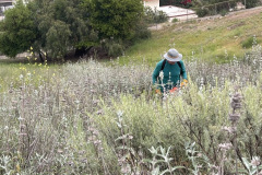
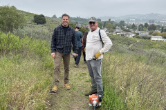
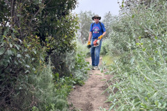
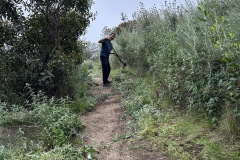
Four volunteers met at the trailhead for the Upper Chumash Trail off Lilac Ln. Simi Valley, CA. The morning was already warm and sunny. One volunteer went first up the trail using a gas powered hedger. He trimmed the brush that was blocking the trail, making way for the other volunteers. Two volunteers used a pick mattock and shovel to chop out thicker weed growth and remove the hedge clippings, and did some ground work. Another volunteer used a gas powered weed whacker to clear the edges of the trail, which was mostly dried star-thistle. Many thanks go to Brian Dennert, Paul Friedeborn, Mike Kuhn and Martin DeGoey for a job well done on a hot day.
June 8th – Spring Wildflower Walk: Creekside & East Long Canyon Trail
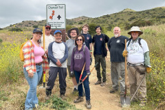
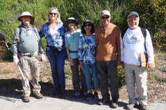
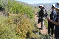
Fourteen hikers met at 9:00 AM at the Challenger Park Trailhead to the Creekside & East Long Canyon Trail, on a pleasant, partly cloudy spring morning. Located at; 105 Challenger Park Rd. Simi Valley, CA 93065.
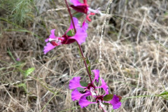
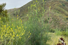
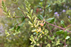
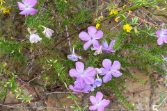
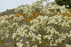
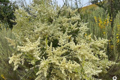
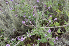
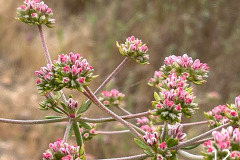
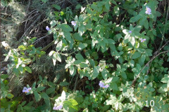
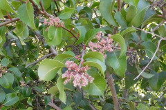
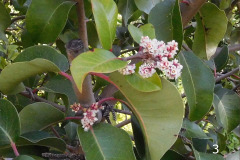
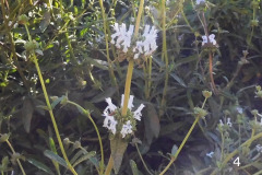
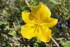
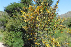
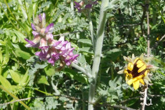
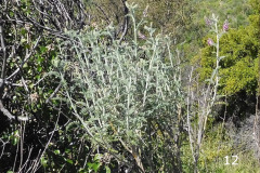
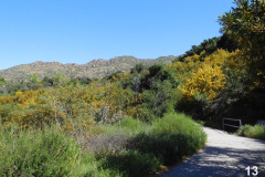
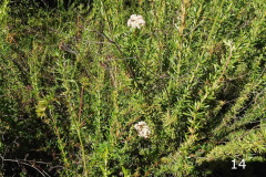
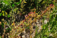
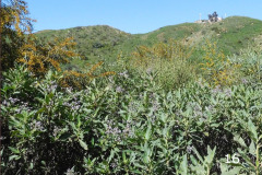
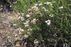
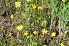
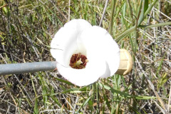
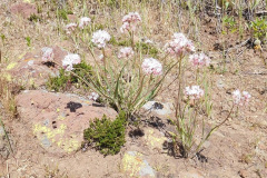
One of the first flowers we identified was a sticky monkey flower (1). Then hiking a few yards was an elegant clarkia (2). As we continued further up the trail we identified some fennel (3). Fennel is native to southern Europe and the Mediterranean region where it has been cultivated for centuries for culinary and medicinal properties. In California, it presumably escaped cultivation in the mid-1800s. Next we identified a not so often seen flower, a chaparral honeysuckle (4). Continuing on, the vegetation thickens where we saw most of the common native flowers such as prickly phlox (5), bush mallow (6), California everlasting (7), chamise (8), purple sage (9). As we approached the end of our Wildflower Walk we identified a common vervain (10) and quite a few cliff asters (11).
The walk was a little over 1.0 miles and another 0.8 miles along long Canyon road on the way back to the vehicles. Thank you Mike Kuhn, RSTB and Simi Valley Recreation and Park District for another great Wildflower Flower Walk.
MAY
May 25th – Spring Wildflower Walk: The Chumash Trail
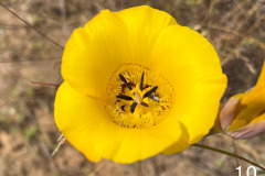
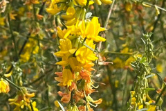
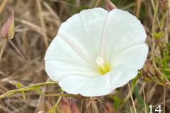
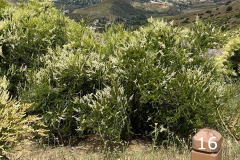
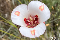
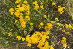
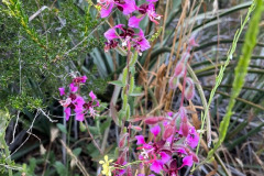
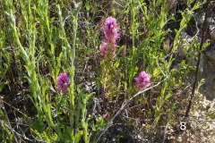
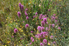
Fifteen hikers met at 9:00 AM at the Chumash trailhead on a refreshing, partly cloudy spring morning, located at 3200 Flanagan Drive, Simi Valley, CA. Walking a short distance from the start of the trailhead we identified our first flower by the shape of the leaves, a morning glory (1). Then once we hiked further up the trail, where the trail hugged the hillside, flowering plants became more plentiful. On the north side of the trail, across a ravine, there was a huge fully blooming chaparral yucca (2). On the downhill side of the trail there was chamise (3 & 16), black sage (4 & 8), lemonade berry (5), and wild cucumber (6). Then both sides of the trail became infested with blooming plants such as, owl’s clover (7 & 11), purple sage (9), yellow mariposa lily (10), California buckwheat (12), deerweed (13 & 19), and false bindweed (14). One way to distinguish morning glory from false bindweed is the presence of a pair of small leaf-like bracts on the stem of the bindweed flower. The hikers passed a lot of golden yarrow (15 & 23) and the ¾ mile mark that led them to a ridgeline. There the hikers saw woolly blue curls (17, 18 &19), bush mallow (20 & 25) and silver puffs (21). The prize flower of the walk was butterfly mariposa lily (22) and last but not least was an elegant clarkia (24).The walk was a little over 1.0 miles before the hikers headed back to their vehicles. With thanks to Mike Kuhn, Jeannie Budfuloski, RSTB and Simi Valley Recreation and Park District, it was a beautiful morning.
May 18th – Work Party: Lower Chumash Trail
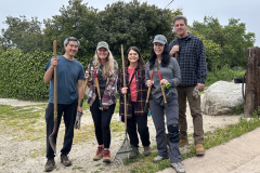
Eleven volunteers met at the trailhead for the Lower Chumash Trail at the end of Flanagan Drive in Simi. Once again, the morning was cool and overcast. After reviewing the safety guidelines and picking out our tools, one volunteer choosing a power string trimmer (weed whacker) and one volunteer choosing a gas powered hedge trimmer, we began going uphill. The person with the hedge trimmer went up first, hedging brush on both sides of the trail defining a standard width of about 4 ft. The group went up next using shovels, pick mattocks, loppers and a McLeod. They cleared mustard, California sagebrush, deerweed, and star-thistle. Then the volunteer with the string trimmer (weed whacker) came up next, clearing grasses and smaller plant growth. A couple of late volunteers came up from behind and cleaned the trail with leaf rakes. We made it up to the 1/2 mile mark just before it was time to head back. There is a bench there where we rested a bit, rehydrated and chatted. Going back down was very gratifying when we remembered how overgrown the trail was after the winter rains. Thank you so much; Heidi Kwok, Jake Stewart, Andres Rieder, Curtis Bedford, Parker Bedford, Paul Friedeborn, Mike Kuhn, Stephanie Kennedy, Tamera McIntyre, John McIntyre and Martin DeGoey for an incredible job.
May 11th – Spring Wildflower Walk: Las Llajas Canyon
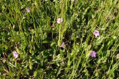
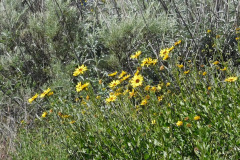
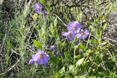
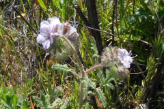
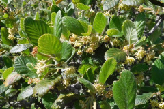
On a sunny spring morning, six hikers met at 9:00 AM at the Las Llajas trailhead, located at 5715 Evening Sky Dr. Simi Valley, CA. The walk began downhill on a paved service road where we identified our first two flowers, California poppy (1) and a wild sweet pea (2). Once the pavement ended and the road leveled out we began seeing white sage (3), some narrow-leaved bedstraw (4), a lot of purple sage (5) and a blossoming castor bean (6). As we continued our walk, there was no shortage of wildflowers; bush sunflowers (7) and blossoming elderberry (8) were everywhere. In a slightly shadier area there were prickly lettuce (9), purple nightshade (10) and horehound (11). With friendly conversation we came upon a patch of Fremont cottonwood (12), where the seed fluffs were a fun topic. Two more hikes joined us as we continued on with a seemingly endless amount of wildflowers to identify. Other wildflowers photographed were; Indian paintbrush (13), Chinese houses (14), lupine (15), slender sunflower (16 & 17), yellow sweet clover (18), yellow mariposa lily (19 & 20), wild cucumber (21), golden yarrow (22), black sage (23), Santa Barbara locoweed (24), milk thistle (25), tamarisk saltcedar (26), sugar bush (27), hollyleaf cherry (28), black walnut (29 & 32), chaparral yucca (30), yerba santa (31). After walking about a 1.5 miles we viewed our last wildflower, sticky Phacelia (33) and headed back to our vehicles. It was a great morning, thanks to Mike Kuhn, RSTB and Simi Valley Recreation and Park District.
APRIL
April 27th – Spring Wildflower Walk: Oak Canyon Community Park
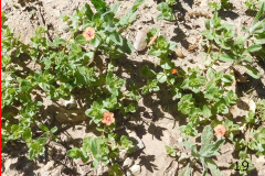
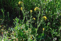
On a calm sunny spring morning, six hikers met at 9:00 AM at Oak Canyon Community Park. We started the walk on a paved service path, in a traditional park setting with manicured grass on one side of the path and a mix of native and domestic shrubs on the other side of the path. Our first flowering shrub identified was Sugar Bush (1 & 3). As we proceeded down the path, in friendly conversation, the next flowering shrubs we saw were Flannel Bush (2 & 7), Black Sage (4), California Bush Sunflower (5) and Greenbark Ceanothus (6). Along the way, while leaving the traditional park setting behind, where both sides of the path changed to a natural setting, we identified, Owl’s Clover (8) and Purple Nightshade (10) and not to mention a dead tree bearing rocks (9). There was one rare plant identified, in the wake of the tree bearing rocks, a native plant on the federal endangered species list, Braunton’s Milk-Vetch (11 & 12). A short stretch of the path we passed through was thick on both sides with Australian Golden Wreath Wattle (13). Shortly after, we encountered California buckwheat (14 & 17), a small patch of whispering bells (15) and some California Yerba Santa (16). We left the paved path going west on a narrow dirt road where there were other flowering plants pointed out such as Italian Thistle (18), Scarlet Pimpernel (19 & 20) and Fiddle Neck (20). Soon we were back to the Community park where there were people enjoying the beautiful California morning.
April 20th – Work Party: Mt. McCoy
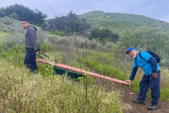
Thirteen volunteers met at the western end of Washburn Street at the Mt. McCoy trailhead. On a perfect overcast morning, we reviewed the safety guidelines and picked out our tools. One volunteer chose a power string trimmer (weed whacker) and one volunteer used a gas powered hedge trimmer. The others chose shovels, loppers, a pick mattock and leaf rakes. We cleared the edges of the trail from heavily sprouting mustard and brush overgrowth. The volunteers cleared the trail to a good 4 ft. width, more than halfway to the top (.5 miles). Part of the trail needed shoring up to prevent side sloping due to erosion. One person, earlier in the week, volunteered to haul a 2”x12”x8’ plank half way up the trail. We didn’t get around to installing it. Thank you so much for a super incredible job to; Ian Nelson, Millie Plisley, Nicole Jordan, Keri Nelson, Tamara McIntyre, Marie-France Bauer, Norman Liss, Paulette Kawasaki, Raquel Margo, Kurt Kawasaki, Paul Friedeborn, Mike Kuhn and Martin DeGoey.
April 6th – Spring Wildflower Walk: Mt. McCoy Trail
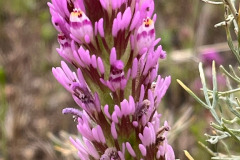
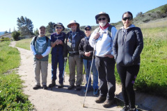
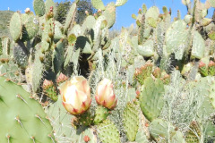
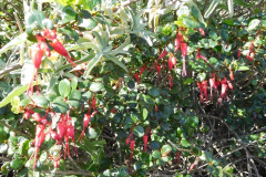
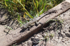
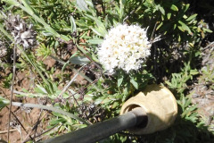
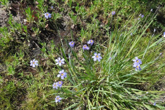
It was an incredibly nice spring morning where six hikers met at 9:00 AM at the Donut Delite, located at the northeast side of the Royal Avenue and Madera Road intersection. We made our way, walking on the sidewalk, to the trail’s trailhead at the corner of Washburn and Los Amigos Ave. There a group picture was taken. The first flower we identified at the beginning of the hike was long-beaked stork’s bill. Then we pasted a grove of prickly pear. As we continued up the trail’s many switchbacks, we began identifying more and more wildflowers; bush sunflower, golden yarrow, purple nightshade, fuchsia-flowered gooseberry. Stopping for a moment we saw a western fence lizard. As we continued up the trail, among the various sages that had not bloomed yet, there was one little caterpillar Phacelia, a lot of golden leaf mountain mahogany, some soap plant, (long slender leaves, no flower). Once we hiked to the more arid upper portion of the trail we saw a lot of goldfields, deer weed, Catalina mariposa lilies and California buckwheat. Then nearly at the top, there was wild onion, California poppy and owl’s clover. On the way down there was some blue-eyed grass that the flowers had opened as the day grew warmer. We had a wonderful morning just being outside and meeting old and new friends. Thank you Mike Kuhn, RSTB and Rancho Simi Recreation and Parks District.
MARCH
March 16th – Work Party: Lower Stagecoach Trail
Nine volunteers gathered near the picnic area at Corriganville Park on a calm and sunny morning. We reviewed safety guidelines, the tools we would be using, and outlined our objective. We started at the beginning of the Lower Stagecoach trail, Corriganville Trails (rsrpd.org). We used Pick Mattocks, shovels and McLeods, for filling in ruts, clearing and creating water bars (drain dips). The soil conditions were perfect. Thanks and appreciation goes to Boy Scout Troop 605 Jim Ratto, Nathin Ratto, R Wietney, Parler Bedford, Aarron Wietney, Mike Kuhn, and Martin DeGoey.
FEBRUARY
February 17th – Work Party: Hummingbird Creek Trail
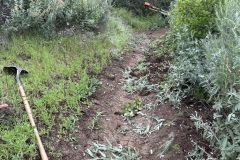
There were six volunteers participating in the February work party, at the Hummingbird Creek Trail. It was a very productive morning, filling in ruts, clearing and creating water bars (drain dips). One volunteer used a Weed Wacker and loppers to clear overgrowth from the trail and he cut down a bunch of Arundo. It was a perfect day for working on the trail. The weather and the ground conditions couldn’t have been better. Appreciations go to Paul Friedeborn, Geneen Garcia, Monty Gonzales, Mason Gonzales, Mike Kuhn, and Martin DeGoey.
JANUARY
January 27th – Work Party: Long Canyon
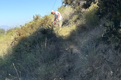
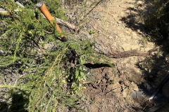
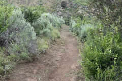
On a slightly breezy morning, three volunteers participated in the January work party at the Long Canyon Trail. We did some weed whacking and clearing growth along the trail. We filled in ruts, cleared and created water bars (drain dips). It was a good day for trail work, the ground conditions were perfect. Appreciations go to Paul Friedeborn, Mike Kuhn, and Martin DeGoey.
